2017
SP9028 : Boundary stone on SW side of Bragenham Lane
taken 7 years ago, near to Bragenham, Buckinghamshire, England
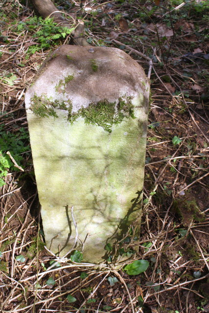
Boundary stone on SW side of Bragenham Lane
There is an Ordnance Survey rivet benchmark on top of the stone: the mark is described on the Bench Mark Database at Link
 Map © Crown Copyright")
TIP: Click the map for more Large scale mapping
- Grid Square
- SP9028, 10 images (more nearby 🔍)
- Photographer
- Roger Templeman (more nearby)
- Date Taken
- Thursday, 2 March, 2017 (more nearby)
- Submitted
- Friday, 10 March, 2017
- Subject Location
-
OSGB36:
 SP 9082 2808 [10m precision]
WGS84: 51:56.6290N 0:40.8085W - Camera Location
-
OSGB36: SP 9082 2808
- View Direction
- Southwest (about 225 degrees)