2017
SP4203 : Houses on Chapel Lane
taken 7 years ago, near to Northmoor, Oxfordshire, England
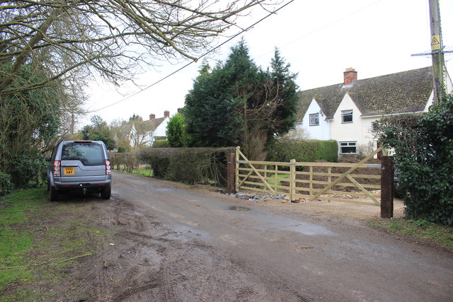
Houses on Chapel Lane
Chapel lane starts in the middle of Northmoor close to the parish church and runs north before turning west to Linch Hill. Most of the western end is passable only on foot or horseback as it runs through old gravel pits. It is a designated bridleway for its whole length
 Map © Crown Copyright")
TIP: Click the map for more Large scale mapping
- Grid Square
- SP4203, 13 images (more nearby 🔍)
- Photographer
- Nigel Mykura (more nearby)
- Date Taken
- Saturday, 25 February, 2017 (more nearby)
- Submitted
- Saturday, 11 March, 2017
- Subject Location
-
OSGB36:
 SP 4206 0308 [10m precision]
WGS84: 51:43.4922N 1:23.5484W - Camera Location
-
OSGB36: SP 4212 0312
- View Direction
- West-southwest (about 247 degrees)