2017
TF6700 : Reed filled dike, Wereham Row in Norfolk
taken 7 years ago, near to Wereham, Norfolk, England
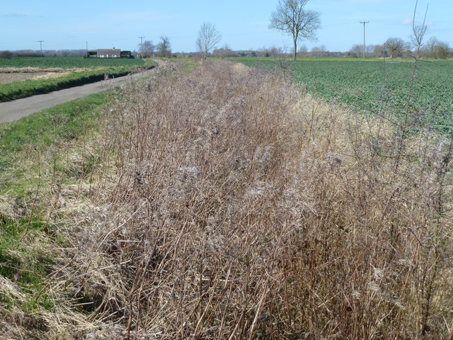
Reed filled dike, Wereham Row in Norfolk
 Map © Crown Copyright")
TIP: Click the map for more Large scale mapping
- Grid Square
- TF6700, 11 images (more nearby 🔍)
- Photographer
- Richard Humphrey (more nearby)
- Date Taken
- Thursday, 9 March, 2017 (more nearby)
- Submitted
- Sunday, 12 March, 2017
- Subject Location
-
OSGB36:
 TF 6756 0077 [10m precision]
WGS84: 52:34.7356N 0:28.2892E - Camera Location
-
OSGB36: TF 6768 0071
- View Direction
- West-northwest (about 292 degrees)