2017
SX1351 : View of Pencalenick across Pont Pill
taken 7 years ago, near to Polruan, Cornwall, England
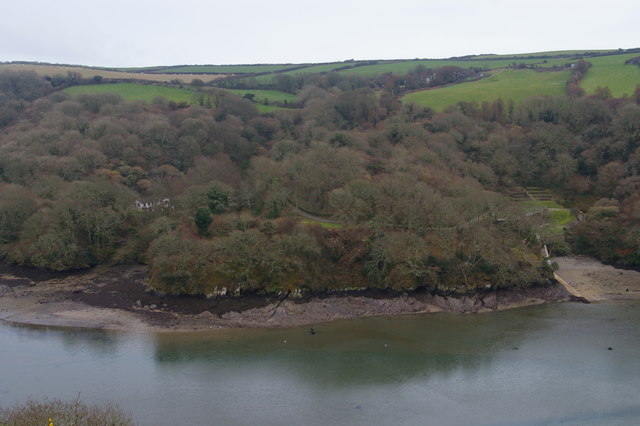
View of Pencalenick across Pont Pill
 Map © Crown Copyright")
TIP: Click the map for more Large scale mapping
- Grid Square
- SX1351, 40 images (more nearby 🔍)
- Photographer
- Christopher Hilton (more nearby)
- Date Taken
- Friday, 17 February, 2017 (more nearby)
- Submitted
- Sunday, 19 March, 2017
- Subject Location
-
OSGB36:
 SX 1346 5148 [10m precision]
WGS84: 50:20.0185N 4:37.3498W - Camera Location
-
OSGB36: SX 1323 5169
- View Direction
- Southeast (about 135 degrees)