2017
SS4438 : Thick gorse on Saunton Down
taken 7 years ago, near to Croyde, Devon, England
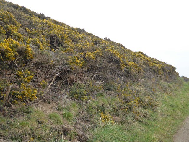
Thick gorse on Saunton Down
The South West Coast Path runs around the south side of Saunton Down; for a short distance it runs through SS4438, and this is the view of the hill from that stretch
South West Coast Path
The South West Coast Path National Trail - 630 miles of superb coastal walking. From Minehead on the edge of the Exmoor National Park to the shores of Poole Harbour in Dorset. It is the longest of all Britain's National Trails.
Website: Link
 Map © Crown Copyright")
TIP: Click the map for more Large scale mapping
- Grid Square
- SS4438, 51 images (more nearby 🔍)
- Photographer
- David Smith (more nearby)
- Date Taken
- Saturday, 11 March, 2017 (more nearby)
- Submitted
- Monday, 20 March, 2017
- Subject Location
-
OSGB36:
 SS 4405 3803 [10m precision]
WGS84: 51:7.2164N 4:13.7802W - Camera Location
-
OSGB36: SS 4400 3800
- View Direction
- East-northeast (about 67 degrees)