2006
SP8001 : Dry valley north of Woodway
taken 18 years ago, near to Princes Risborough, Buckinghamshire, England
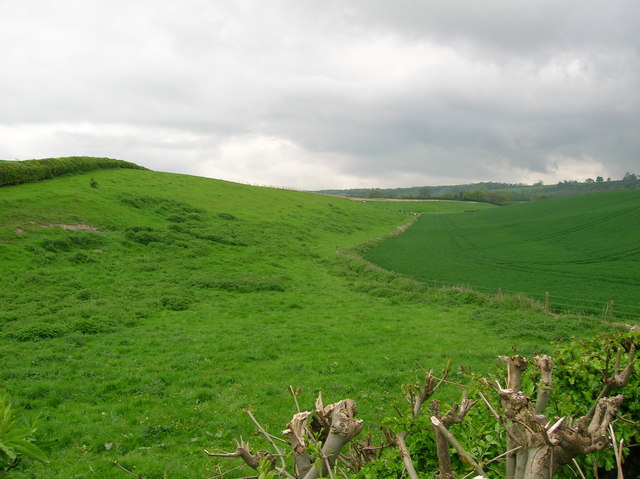
Dry valley north of Woodway
Looking east from Wycombe Road along an asymmetric dry valley. The steeper south-facing as permanent pasture and the shallow north-facing side winter wheat.
 Map © Crown Copyright")
TIP: Click the map for more Large scale mapping
- Grid Square
- SP8001, 27 images (more nearby 🔍)
- Photographer
- Simon Mortimer (more nearby)
- Date Taken
- Monday, 8 May, 2006 (more nearby)
- Submitted
- Tuesday, 21 March, 2017
- Subject Location
-
OSGB36:
 SP 8076 0191 [10m precision]
WGS84: 51:42.6073N 0:49.9534W - Camera Location
-
OSGB36: SP 8067 0190
- View Direction
- EAST (about 90 degrees)