2017
SO9478 : Shut Mill Lane Junction Near Sling Common
taken 7 years ago, near to Bell End, Worcestershire, England
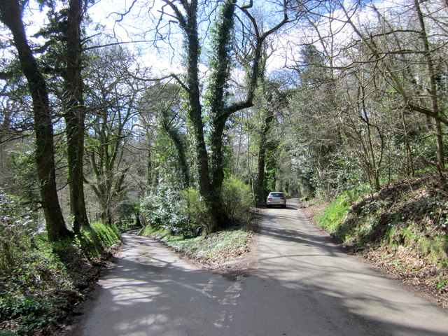
Shut Mill Lane Junction Near Sling Common
 Map © Crown Copyright")
TIP: Click the map for more Large scale mapping
- Grid Square
- SO9478, 19 images (more nearby 🔍)
- Photographer
- Roy Hughes (more nearby)
- Date Taken
- Tuesday, 21 March, 2017 (more nearby)
- Submitted
- Wednesday, 22 March, 2017
- Subject Location
-
OSGB36:
 SO 9479 7814 [10m precision]
WGS84: 52:24.0748N 2:4.6801W - Camera Location
-
OSGB36: SO 9479 7819
- View Direction
- SOUTH (about 180 degrees)