2017
TL1228 : Track on Lilley Hoo
taken 7 years ago, near to Pegsdon, Central Bedfordshire, England
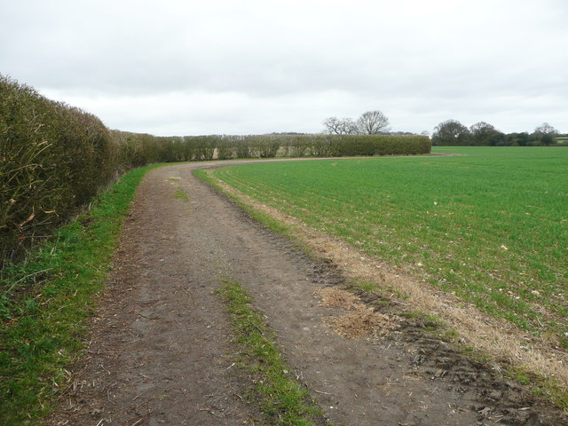
Track on Lilley Hoo
This is shown on the 'Explorer' map as Access Land but has been cultivated. The bridleway crossing the field has been replaced by this track along the edge of the field.
 Map © Crown Copyright")
TIP: Click the map for more Large scale mapping
- Grid Square
- TL1228, 14 images (more nearby 🔍)
- Photographer
- Humphrey Bolton (more nearby)
- Date Taken
- Tuesday, 14 March, 2017 (more nearby)
- Submitted
- Wednesday, 22 March, 2017
- Subject Location
-
OSGB36:
 TL 1219 2820 [10m precision]
WGS84: 51:56.4601N 0:22.1598W - Camera Location
-
OSGB36: TL 1220 2817
- View Direction
- NORTH (about 0 degrees)