2017
TF6014 : Wiggenhall Bridge
taken 7 years ago, near to Wiggenhall st Peter, Norfolk, England
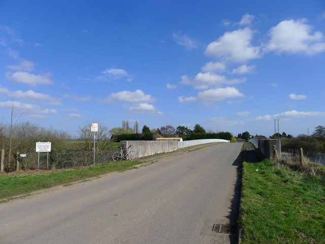
Wiggenhall Bridge
Crosses the Great Ouse Relief Channel. The sign denotes that this stretch of the channel is for water skiing
 Map © Crown Copyright")
TIP: Click the map for more Large scale mapping
- Grid Square
- TF6014, 17 images (more nearby 🔍)
- Photographer
- Tim Heaton (more nearby)
- Date Taken
- Wednesday, 15 March, 2017 (more nearby)
- Submitted
- Wednesday, 22 March, 2017
- Subject Location
-
OSGB36:
 TF 6091 1405 [10m precision]
WGS84: 52:42.0128N 0:22.7943E - Camera Location
-
OSGB36: TF 6081 1406
- View Direction
- EAST (about 90 degrees)