2017
TF4171 : Fordington: Low Plantation
taken 7 years ago, near to Fordington, Lincolnshire, England
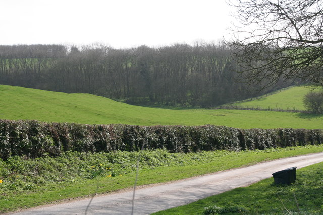
Fordington: Low Plantation
A medieval village site is marked a few hundred yards to the east, and the undulating field seen here may be part of it.
 Map © Crown Copyright")
TIP: Click the map for more Large scale mapping
- Grid Square
- TF4171, 13 images (more nearby 🔍)
- Photographer
- Chris (more nearby)
- Date Taken
- Thursday, 23 March, 2017 (more nearby)
- Submitted
- Thursday, 23 March, 2017
- Subject Location
-
OSGB36:
 TF 4177 7133 [10m precision]
WGS84: 53:13.2067N 0:7.3152E - Camera Location
-
OSGB36: TF 41710 71536
- View Direction
- South-southeast (about 157 degrees)