2017
SE0928 : Upper Shibden Dale
taken 7 years ago, near to Queensbury, Bradford, England
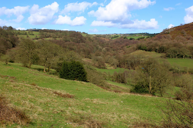
Upper Shibden Dale
Views over the upper reaches of Shibden Dale are on offer from the Calderdale Way as it ascends from Simm Carr Lane to Catherine Slack.
Calderdale Way
A circular long distance walk of roughly 50 miles in length around Calderdale in West Yorkshire. The walk encircles Halifax, Hebden Bridge and Todmorden following packhorse ways and sections of stone causeways. It passes through hillside villages, high moorland and old mill towns.
Some sections are very steep and narrow valleys are traversed.
 Map © Crown Copyright")
TIP: Click the map for more Large scale mapping
- Grid Square
- SE0928, 95 images (more nearby 🔍)
- Photographer
- Chris Heaton (more nearby)
- Date Taken
- Tuesday, 21 March, 2017 (more nearby)
- Submitted
- Friday, 24 March, 2017
- Subject Location
-
OSGB36:
 SE 0979 2859 [10m precision]
WGS84: 53:45.2151N 1:51.1804W - Camera Location
-
OSGB36: SE 0929 2804
- View Direction
- Northeast (about 45 degrees)