2017
SE7041 : Beyond Hag Lane
taken 7 years ago, near to Ellerton, East Riding of Yorkshire, England
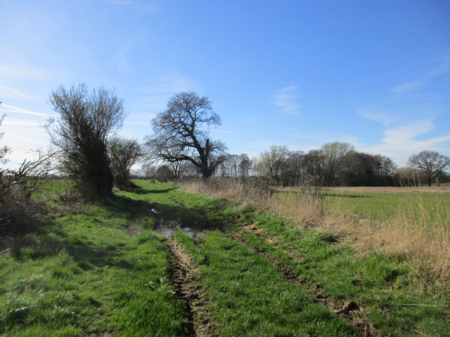
Beyond Hag Lane
Beyond Hag Lane a short grassy track leads to East Cottingwith Ings.
 Map © Crown Copyright")
TIP: Click the map for more Large scale mapping
- Grid Square
- SE7041, 28 images (more nearby 🔍)
- Photographer
- Jonathan Thacker (more nearby)
- Date Taken
- Saturday, 25 March, 2017 (more nearby)
- Submitted
- Sunday, 26 March, 2017
- Subject Location
-
OSGB36:
 SE 7009 4107 [10m precision]
WGS84: 53:51.6677N 0:56.1464W - Camera Location
-
OSGB36: SE 7022 4111
- View Direction
- West-southwest (about 247 degrees)