2017
TA2171 : Bempton Lane near Flamborough
taken 7 years ago, near to Flamborough, East Riding of Yorkshire, England
This is 1 of 8 images, with title starting with Bempton in this square
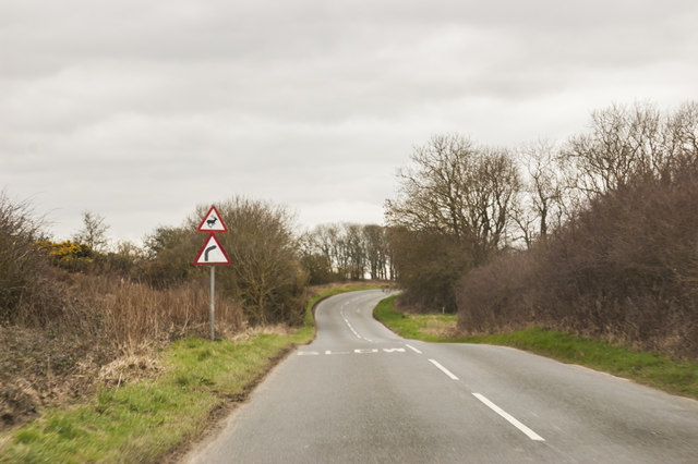
Bempton Lane near Flamborough
About to cross Dane's Dyke, an ancient defensive earthwork.
 Map © Crown Copyright")
TIP: Click the map for more Large scale mapping
- Grid Square
- TA2171, 49 images (more nearby 🔍)
- Photographer
- J.Hannan-Briggs (more nearby)
- Contributed by
- Julian P Guffogg (more nearby)
- Date Taken
- Monday, 13 March, 2017 (more nearby)
- Submitted
- Monday, 27 March, 2017
- Subject Location
-
OSGB36:
 TA 2131 7114 [10m precision]
WGS84: 54:7.3091N 0:8.7219W - Camera Location
-
OSGB36: TA 2147 7114
- View Direction
- WEST (about 270 degrees)