2017
SH6269 : Sheep pasture
taken 7 years ago, near to Llanllechid, Gwynedd, Wales
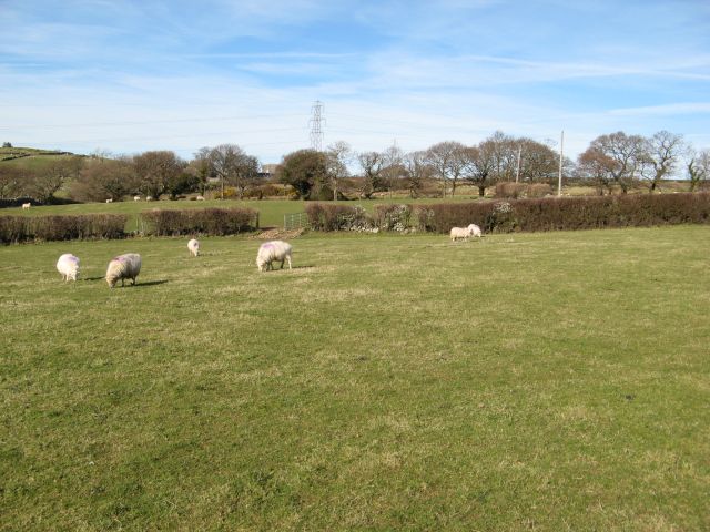
Sheep pasture
Level pasture is subdivided by hedges into numerous fields in the vicinity of Plas Uchaf.
 Map © Crown Copyright")
TIP: Click the map for more Large scale mapping
- Grid Square
- SH6269, 25 images (more nearby 🔍)
- Photographer
- Jonathan Wilkins (more nearby)
- Date Taken
- Saturday, 25 March, 2017 (more nearby)
- Submitted
- Monday, 27 March, 2017
- Subject Location
-
OSGB36:
 SH 6206 6965 [10m precision]
WGS84: 53:12.3581N 4:4.0070W - Camera Location
-
OSGB36: SH 6209 6959
- View Direction
- North-northwest (about 337 degrees)