2016
SO1722 : A479 South of Cwmdu
taken 8 years ago, near to Cwmdu, Powys, Wales
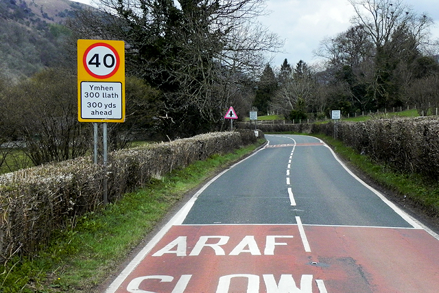
A479 South of Cwmdu
The A479, also officially known as the Glanusk Park (Crickhowell)Llyswen Trunk Road, starts from Glanusk Park near Crickhowell and runs for nearly 14 miles roughly in a northerly direction to Llyswen, where it joins the A470 road. It runs entirely within the county of Powys and is a single carriageway throughout its length.
Link Wikipedia
Link SABRE
See other images of The A479
Link
Link
See other images of The A479
 Map © Crown Copyright")
TIP: Click the map for more Large scale mapping
- Grid Square
- SO1722, 5 images (more nearby 🔍)
- Photographer
- David Dixon (more nearby)
- Date Taken
- Thursday, 14 April, 2016 (more nearby)
- Submitted
- Tuesday, 28 March, 2017
- Subject Location
-
OSGB36:
 SO 178 229 [100m precision]
WGS84: 51:53.9520N 3:11.6950W - Camera Location
-
OSGB36: SO 178 229
- View Direction
- NORTH (about 0 degrees)