2017
NX4079 : Path to Loch Trool
taken 7 years ago, 4 km ENE of Glentrool Village, Dumfries And Galloway, Scotland
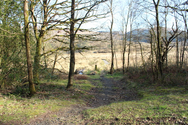
Path to Loch Trool
 Map © Crown Copyright")
TIP: Click the map for more Large scale mapping
- Grid Square
- NX4079, 90 images (more nearby 🔍)
- Photographer
- Billy McCrorie (more nearby)
- Date Taken
- Monday, 27 March, 2017 (more nearby)
- Submitted
- Wednesday, 29 March, 2017
- Subject Location
-
OSGB36:
 NX 4019 7989 [10m precision]
WGS84: 55:5.2580N 4:30.3274W - Camera Location
-
OSGB36: NX 4018 7990
- View Direction
- Southeast (about 135 degrees)