2017
NG7489 : Road to Maol Breac
taken 7 years ago, 3 km from Melvaig, Highland, Scotland
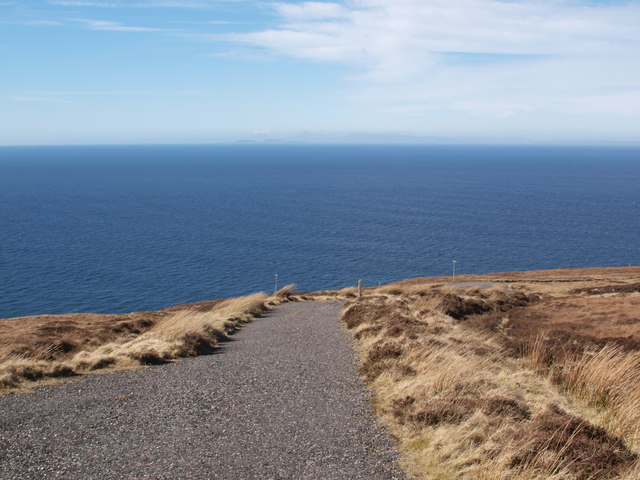
Road to Maol Breac
The picture shows the bottom part of the service road to the masts on Maol Breac, a steeper road than it appears from the main road. On the horizon one can glimpse Harris and the Shiant islands.
 Map © Crown Copyright")
TIP: Click the map for more Large scale mapping
- Grid Square
- NG7489, 14 images (more nearby 🔍)
- Photographer
- Alec MacKinnon (more nearby)
- Date Taken
- Saturday, 25 March, 2017 (more nearby)
- Submitted
- Wednesday, 29 March, 2017
- Subject Location
-
OSGB36:
 NG 7450 8989 [10m precision]
WGS84: 57:50.4894N 5:48.0582W - Camera Location
-
OSGB36: NG 7460 8987
- View Direction
- West-northwest (about 292 degrees)