2017
NY8222 : Estate road at White Band
taken 7 years ago, 4 km WNW of Grains o' Th' Beck, County Durham, England
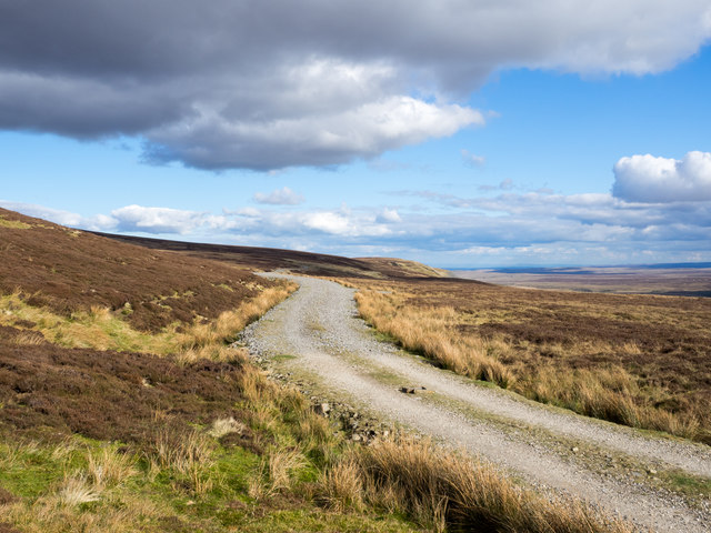
Estate road at White Band
White Band is a location south-east of Mickle Fell. At the time of writing, (April 2017), OS mapping does not show the road at every scale. A number of these estate roads has been installed in this remote area in recent years, all to allow the 'guns' of a grouse shoot to be carried with greater ease to their butts!
 Map © Crown Copyright")
TIP: Click the map for more Large scale mapping
- Grid Square
- NY8222, 3 images (more nearby 🔍)
- Photographer
- Trevor Littlewood (more nearby)
- Date Taken
- Sunday, 2 April, 2017 (more nearby)
- Submitted
- Monday, 3 April, 2017
- Subject Location
-
OSGB36:
 NY 8285 2292 [10m precision]
WGS84: 54:36.0696N 2:16.0189W - Camera Location
-
OSGB36: NY 8276 2291
- View Direction
- EAST (about 90 degrees)