2017
SD7923 : Cribden End Lane to Stubbins
taken 7 years ago, near to Haslingden, Lancashire, England
This is 1 of 2 images, with title starting with Cribden End Lane to in this square
Cribden End Lane to Stubbins
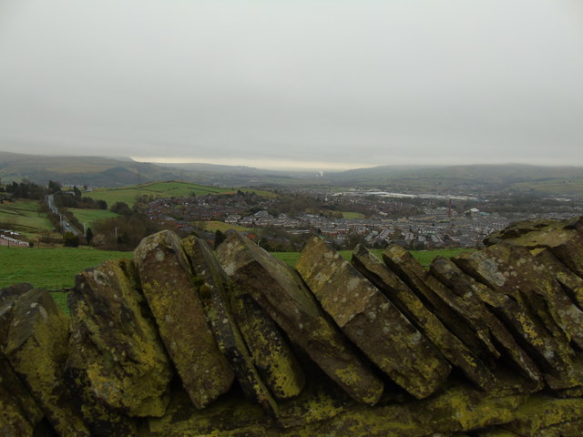
Taken on Cribden End Lane, Top O'Slate, Haslingden, Lancashire, I am looking south across Longshoot to Stubbins on the southern edge of Rossendale. The SCA paper mill can be identified by its plume of smoke in the distance. The conurbation of Greater Manchester spreads along the far horizon beyond.
 Map © Crown Copyright")
TIP: Click the map for more Large scale mapping
- Grid Square
- SD7923, 104 images (more nearby 🔍)
- Photographer
- Carroll Pierce (more nearby)
- Date Taken
- Monday, 13 March, 2017 (more nearby)
- Submitted
- Tuesday, 4 April, 2017
- Subject Location
-
OSGB36:
 SD 791 231 [100m precision]
WGS84: 53:42.2831N 2:19.0481W - Camera Location
-
OSGB36: SD 792 235
- View Direction
- South-southwest (about 202 degrees)