2017
NS4410 : Dunstonhill Colliery Site View
taken 7 years ago, near to Waterside, East Ayrshire, Scotland
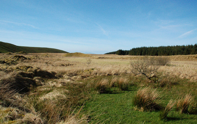
Dunstonhill Colliery Site View
This area has a long history of mining. The land on the left is a recently re-graded and re-seeded open cast operation covering an extensive piece of land.
 Map © Crown Copyright")
TIP: Click the map for more Large scale mapping
- Grid Square
- NS4410, 8 images (more nearby 🔍)
- Photographer
- Mary and Angus Hogg (more nearby)
- Date Taken
- Sunday, 2 April, 2017 (more nearby)
- Submitted
- Tuesday, 4 April, 2017
- Subject Location
-
OSGB36:
 NS 440 107 [100m precision]
WGS84: 55:21.9495N 4:27.7069W - Camera Location
-
OSGB36: NS 441 107
- View Direction
- West-northwest (about 292 degrees)