2017
SX7587 : Cleared and replanted woodland near Butterdon
taken 7 years ago, near to Moretonhampstead, Devon, England
This is 1 of 2 images, with title Cleared and replanted woodland near Butterdon in this square
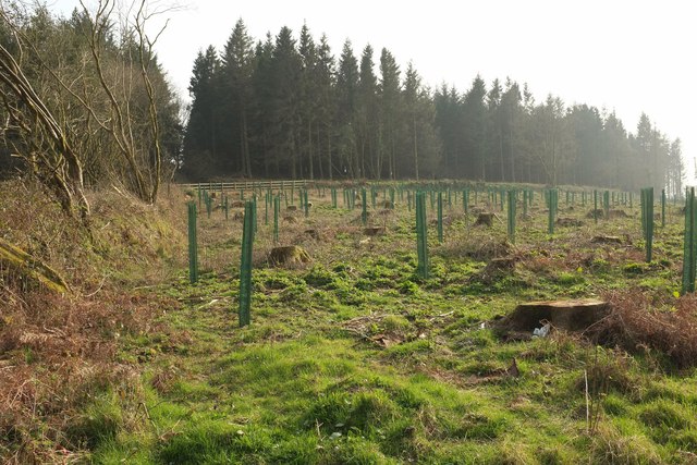
Cleared and replanted woodland near Butterdon
From the far end of the stretch of lane shown in SX7587 : Lane near Butterdon.
 Map © Crown Copyright")
TIP: Click the map for more Large scale mapping
- Grid Square
- SX7587, 16 images (more nearby 🔍)
- Photographer
- Derek Harper (more nearby)
- Date Taken
- Monday, 27 March, 2017 (more nearby)
- Submitted
- Tuesday, 4 April, 2017
- Subject Location
-
OSGB36:
 SX 751 876 [100m precision]
WGS84: 50:40.4774N 3:46.1403W - Camera Location
-
OSGB36: SX 7520 8771
- View Direction
- Southwest (about 225 degrees)