2017
SX7487 : Footpath crossing lane south of Butterdon
taken 7 years ago, near to Moretonhampstead, Devon, England
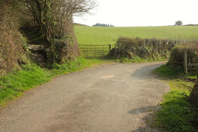
Footpath crossing lane south of Butterdon
On the left is SX7487 : Footpath to Moretonhampstead, with Moretonhampstead Footpath 10 running southwards. It runs northwards on the right towards Bowden Farm. The lane continues towards Howton.
 Map © Crown Copyright")
TIP: Click the map for more Large scale mapping
- Grid Square
- SX7487, 19 images (more nearby 🔍)
- Photographer
- Derek Harper (more nearby)
- Date Taken
- Monday, 27 March, 2017 (more nearby)
- Submitted
- Tuesday, 4 April, 2017
- Subject Location
-
OSGB36:
 SX 7495 8747 [10m precision]
WGS84: 50:40.4053N 3:46.2650W - Camera Location
-
OSGB36: SX 7495 8749
- View Direction
- South-southwest (about 202 degrees)