2017
TQ1744 : Betchets Green Road, Holmwood
taken 7 years ago, near to South Holmwood, Surrey, England
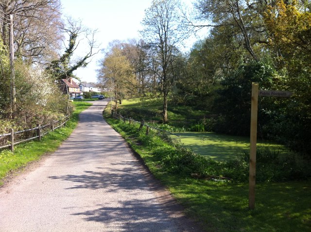
Betchets Green Road, Holmwood
This stretch of Betchets Green Road appears to be a private road (beyond the junction with Buckingham Road at the top of the rise in the photo), and is classified only as a public footpath 264 Holmwood (footpath 266a leads off on the right to Holmwood Corner). However, the precise status is perhaps a bit academic for non-motorised users, as this is also part of Holmwood Common, the land is owned by the National Trust, and there are access rights to it for walkers and horse riders under section 193 of the Law of Property Act 1925.
 Map © Crown Copyright")
TIP: Click the map for more Large scale mapping
- Grid Square
- TQ1744, 31 images (more nearby 🔍)
- Photographer
- Hugh Craddock (more nearby)
- Date Taken
- Friday, 7 April, 2017 (more nearby)
- Submitted
- Friday, 7 April, 2017
- Subject Location
-
OSGB36:
 TQ 1705 4482 [10m precision]
WGS84: 51:11.4376N 0:19.5843W - Camera Location
-
OSGB36: TQ 1702 4477
- View Direction
- Northeast (about 45 degrees)