2017
NY5003 : The summit of Capplebarrow
taken 7 years ago, 3 km from Sadgill, Cumbria, England
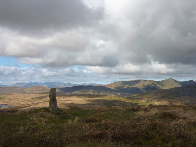
The summit of Capplebarrow
The upright stone may be a parish boundary marker which here is slightly further west than the fence line. The higher fells around the head of Kentmere are on the right with the rugged fells around Langdale further left. Skeggles Water is the tarn just in view at the extreme left of the photo.
 Map © Crown Copyright")
TIP: Click the map for more Large scale mapping
- Grid Square
- NY5003, 6 images (more nearby 🔍)
- Photographer
- Karl and Ali (more nearby)
- Date Taken
- Sunday, 2 April, 2017 (more nearby)
- Submitted
- Monday, 10 April, 2017
- Subject Location
-
OSGB36:
 NY 5081 0354 [10m precision]
WGS84: 54:25.4939N 2:45.5795W - Camera Location
-
OSGB36: NY 5081 0354
- View Direction
- WEST (about 270 degrees)