2017
SS7203 : The downstream side of Tuckingmill Bridge on the River Yeo
taken 7 years ago, near to Zeal Monachorum, Devon, England
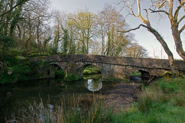
The downstream side of Tuckingmill Bridge on the River Yeo
One of a number of rivers named Yeo. This name is likely to have come from the old English ea meaning running water, a stream or waterway.
See other images of River Yeo: Hollycombe Moor to Chenson
See other images of River Yeo: Hollycombe Moor to Chenson
 Map © Crown Copyright")
TIP: Click the map for more Large scale mapping
- Grid Square
- SS7203, 35 images (more nearby 🔍)
- Photographer
- Roger A Smith (more nearby)
- Date Taken
- Saturday, 8 April, 2017 (more nearby)
- Submitted
- Tuesday, 11 April, 2017
- Subject Location
-
OSGB36:
 SS 7241 0354 [10m precision]
WGS84: 50:49.0386N 3:48.7549W - Camera Location
-
OSGB36: SS 7242 0356
- View Direction
- Southwest (about 225 degrees)