2017
SE0528 : Ruins of Upper Height Farm, Mixenden
taken 7 years ago, near to Wainstalls, Calderdale, England
This is 1 of 2 images, with title Ruins of Upper Height Farm, Mixenden in this square
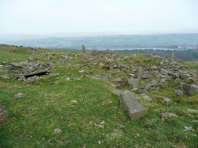
Ruins of Upper Height Farm, Mixenden
 Map © Crown Copyright")
TIP: Click the map for more Large scale mapping
- Grid Square
- SE0528, 136 images (more nearby 🔍)
- Photographer
- Humphrey Bolton (more nearby)
- Date Taken
- Sunday, 9 April, 2017 (more nearby)
- Submitted
- Wednesday, 12 April, 2017
- Subject Location
-
OSGB36:
 SE 0534 2883 [10m precision]
WGS84: 53:45.3483N 1:55.2294W - Camera Location
-
OSGB36: SE 0534 2883
- View Direction
- EAST (about 90 degrees)