2017
SE7596 : Path to Lower Row Mires
taken 7 years ago, 3 km from Rosedale Abbey, North Yorkshire, England
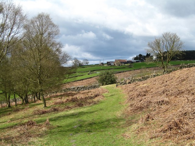
Path to Lower Row Mires
A pleasant stretch of path above light woodland, and with Lower Row Mires farm visible in the middle distance. The OS map shows a triangular corner of forest ahead, but this has been cleared and is now being colonised by self sown birch saplings.
 Map © Crown Copyright")
TIP: Click the map for more Large scale mapping
- Grid Square
- SE7596, 31 images (more nearby 🔍)
- Photographer
- Gordon Hatton (more nearby)
- Date Taken
- Saturday, 15 April, 2017 (more nearby)
- Submitted
- Sunday, 16 April, 2017
- Subject Location
-
OSGB36:
 SE 7560 9660 [10m precision]
WGS84: 54:21.5598N 0:50.2888W - Camera Location
-
OSGB36: SE 7562 9657
- View Direction
- Northwest (about 315 degrees)