2017
SE7994 : Brown Howe Road. No longer a through road
taken 7 years ago, near to Stape, North Yorkshire, England
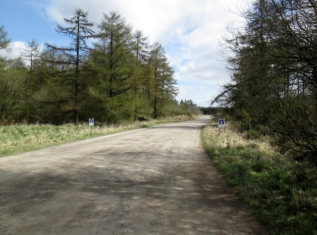
Brown Howe Road. No longer a through road
There is now a locked barrier across the road after Wardle Rigg. Mauley Cross is on the left as you go down this road
 Map © Crown Copyright")
TIP: Click the map for more Large scale mapping
- Grid Square
- SE7994, 43 images (more nearby 🔍)
- Photographer
- Martin Dawes (more nearby)
- Date Taken
- Wednesday, 5 April, 2017 (more nearby)
- Submitted
- Monday, 17 April, 2017
- Subject Location
-
OSGB36:
 SE 7963 9432 [10m precision]
WGS84: 54:20.2939N 0:46.6053W - Camera Location
-
OSGB36: SE 7958 9431
- View Direction
- EAST (about 90 degrees)