2017
SE8698 : Eller Beck in a moorland valley
taken 7 years ago, 4 km SE of Goathland, North Yorkshire, England
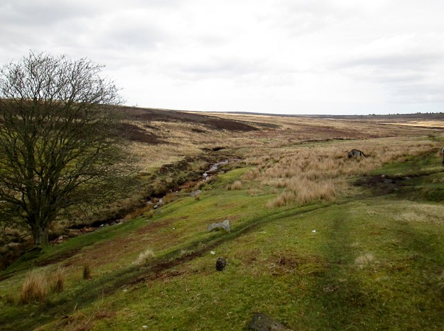
Eller Beck in a moorland valley
From the path around the perimeter of RAF Fylingdales
 Map © Crown Copyright")
TIP: Click the map for more Large scale mapping
- Grid Square
- SE8698, 14 images (more nearby 🔍)
- Photographer
- Martin Dawes (more nearby)
- Date Taken
- Wednesday, 5 April, 2017 (more nearby)
- Submitted
- Tuesday, 18 April, 2017
- Subject Location
-
OSGB36:
 SE 8633 9849 [10m precision]
WGS84: 54:22.4766N 0:40.3517W - Camera Location
-
OSGB36: SE 8624 9847
- View Direction
- East-northeast (about 67 degrees)