2017
SU4541 : Ordnance Survey Cut Mark
taken 7 years ago, near to Lower Bullington, Hampshire, England
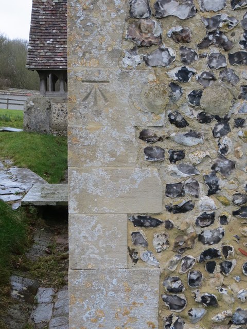
Ordnance Survey Cut Mark
This mark can be found on the wall of St Michael's Church at lower Bullington.
 Map © Crown Copyright")
TIP: Click the map for more Large scale mapping
- Grid Square
- SU4541, 53 images (more nearby 🔍)
- Photographer
- Peter Wood (more nearby)
- Date Taken
- Saturday, 25 February, 2017 (more nearby)
- Submitted
- Tuesday, 18 April, 2017
- Subject Location
-
OSGB36:
 SU 45497 41229 [1m precision]
WGS84: 51:10.1101N 1:21.0390W