2017
NJ4705 : Newmill Farm
taken 7 years ago, near to Douneside, Aberdeenshire, Scotland
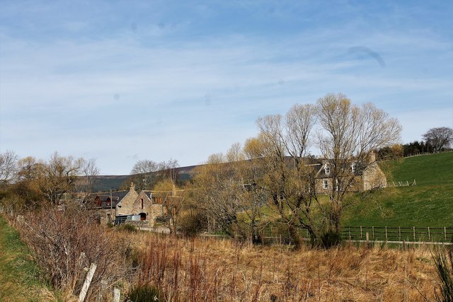
Newmill Farm
The largely converted buildings of Newmill by the Burn of Glaaick.
 Map © Crown Copyright")
TIP: Click the map for more Large scale mapping
- Grid Square
- NJ4705, 26 images (more nearby 🔍)
- Photographer
- Andrew Wood (more nearby)
- Date Taken
- Saturday, 8 April, 2017 (more nearby)
- Submitted
- Wednesday, 19 April, 2017
- Subject Location
-
OSGB36:
 NJ 475 056 [100m precision]
WGS84: 57:8.3080N 2:52.1346W - Camera Location
-
OSGB36: NJ 475 055
- View Direction
- North-northwest (about 337 degrees)