2017
TQ2217 : Twelve Acres
taken 7 years ago, near to Henfield, West Sussex, England
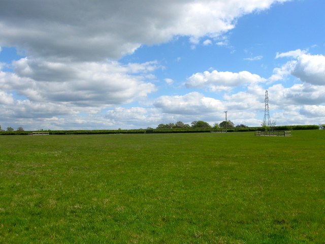
Twelve Acres
The name of the field according to Henfield's 1844 tithe map that is bounded by TQ2217 : Sandpit Field to the north, TQ2217 : Barn Nine Acres/Faulconers Field to the east, Woolfly Farm to the south and TQ2217 : South Wood Field Mead/North Wood Field Mead to the west.
 Map © Crown Copyright")
TIP: Click the map for more Large scale mapping
- Grid Square
- TQ2217, 57 images (more nearby 🔍)
- Photographer
- Simon Carey (more nearby)
- Date Taken
- Tuesday, 18 April, 2017 (more nearby)
- Submitted
- Thursday, 20 April, 2017
- Subject Location
-
OSGB36:
 TQ 2238 1733 [10m precision]
WGS84: 50:56.5459N 0:15.5678W - Camera Location
-
OSGB36: TQ 2223 1732
- View Direction
- EAST (about 90 degrees)