2017
TQ2217 : Barn Nine Acres/Faulconers Field
taken 7 years ago, near to Henfield, West Sussex, England
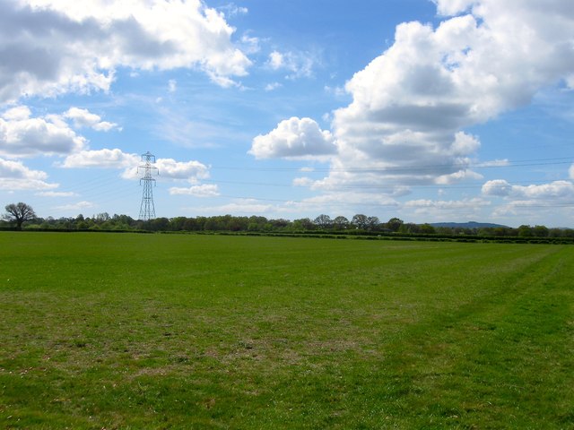
Barn Nine Acres/Faulconers Field
The name of the fields according to Henfield's 1844 tithe map that have been merged along with TQ2217 : West Field to the south west to form a larger unit. To the north is TQ2217 : Woolfly Farm and TQ2217 : Park Lane, to the west is TQ2217 : Twelve Acres and across the drive to TQ2217 : Park Farm to the east is TQ2217 : Nine Acres/Common Field. The distinctive crown of Chanctonbury Ring can be seen in the far distance.
 Map © Crown Copyright")
TIP: Click the map for more Large scale mapping
- Grid Square
- TQ2217, 57 images (more nearby 🔍)
- Photographer
- Simon Carey (more nearby)
- Date Taken
- Tuesday, 18 April, 2017 (more nearby)
- Submitted
- Thursday, 20 April, 2017
- Subject Location
-
OSGB36:
 TQ 2257 1737 [10m precision]
WGS84: 50:56.5651N 0:15.4048W - Camera Location
-
OSGB36: TQ 2274 1756
- View Direction
- Southwest (about 225 degrees)