2017
NM5243 : Fenceline in a firebreak below Meall nan Gabhar
taken 7 years ago, 3 km from Kellan, Isle of Mull, Argyll And Bute, Scotland
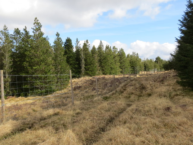
Fenceline in a firebreak below Meall nan Gabhar
 Map © Crown Copyright")
TIP: Click the map for more Large scale mapping
- Grid Square
- NM5243 (more nearby 🔍)
- Photographer
- John Ferguson (more nearby)
- Date Taken
- Monday, 17 April, 2017 (more nearby)
- Submitted
- Thursday, 20 April, 2017
- Subject Location
-
OSGB36:
 NM 5205 4313 [10m precision]
WGS84: 56:30.8793N 6:1.9262W - Camera Location
-
OSGB36: NM 5203 4312
- View Direction
- Northeast (about 45 degrees)