2017
NM6734 : Burns running from the col to form the Abhainn Lirein
taken 7 years ago, 4 km N of Strathcoil, Isle of Mull, Argyll And Bute, Scotland
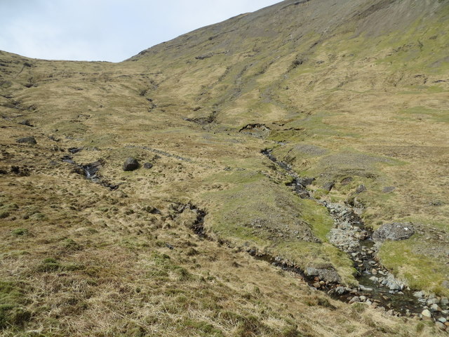
Burns running from the col to form the Abhainn Lirein
 Map © Crown Copyright")
TIP: Click the map for more Large scale mapping
- Grid Square
- NM6734, 3 images (more nearby 🔍)
- Photographer
- John Ferguson (more nearby)
- Date Taken
- Wednesday, 19 April, 2017 (more nearby)
- Submitted
- Friday, 21 April, 2017
- Subject Location
-
OSGB36:
 NM 6791 3447 [10m precision]
WGS84: 56:26.7068N 5:46.0343W - Camera Location
-
OSGB36: NM 6796 3444
- View Direction
- West-northwest (about 292 degrees)