2016
TA1564 : The beginning (end) of the A1038
taken 7 years ago, near to Carnaby, East Riding of Yorkshire, England
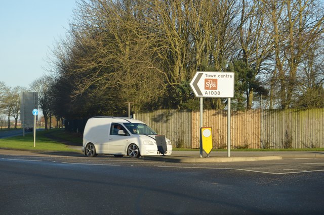
The beginning (end) of the A1038
The A1038 runs 2 miles from Bessingby Bridge to Bridlington Old Town, via Bridlington.
Link
See other images of A1038 Road
Link
See other images of A1038 Road
 Map © Crown Copyright")
TIP: Click the map for more Large scale mapping
- Grid Square
- TA1564, 72 images (more nearby 🔍)
- Photographer
- N Chadwick (more nearby)
- Date Taken
- Tuesday, 27 December, 2016 (more nearby)
- Submitted
- Friday, 21 April, 2017
- Subject Location
-
OSGB36:
 TA 1577 6421 [10m precision]
WGS84: 54:3.6504N 0:13.9640W - Camera Location
-
OSGB36: TA 1576 6420
- View Direction
- East-southeast (about 112 degrees)