2017
TQ5479 : A Thameside Path
taken 7 years ago, near to Purfleet-on-Thames, Thurrock, England
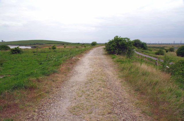
A Thameside Path
The national cycle network path can be seen to the right of the frame. Looking towards Rainham.
 Map © Crown Copyright")
TIP: Click the map for more Large scale mapping
- Grid Square
- TQ5479, 93 images (more nearby 🔍)
- Photographer
- Glyn Baker (more nearby)
- Date Taken
- Friday, 21 April, 2017 (more nearby)
- Submitted
- Saturday, 22 April, 2017
- Subject Location
-
OSGB36:
 TQ 5401 7904 [10m precision]
WGS84: 51:29.3603N 0:13.0144E - Camera Location
-
OSGB36: TQ 5409 7901
- View Direction
- West-northwest (about 292 degrees)