2017
SK5311 : Path through Swithland Wood
taken 7 years ago, near to Swithland, Leicestershire, England
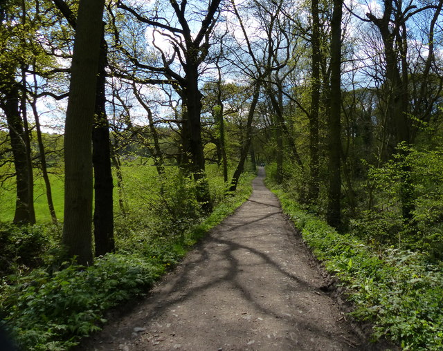
Path through Swithland Wood
This path leads to the car park on Roecliffe Road.
Swithland Wood is Leicestershire's most important ancient woodland for nature conservation. It has been a public woodland since 1925, and covers an area of 61 hectares (150 acres). There are several old quarries within the wood that were a source of the Swithland Slate roofs found on many local buildings as well as the slate gravestones common in Leicestershire churchyards.
Swithland Wood is Leicestershire's most important ancient woodland for nature conservation. It has been a public woodland since 1925, and covers an area of 61 hectares (150 acres). There are several old quarries within the wood that were a source of the Swithland Slate roofs found on many local buildings as well as the slate gravestones common in Leicestershire churchyards.
 Map © Crown Copyright")
TIP: Click the map for more Large scale mapping
- Grid Square
- SK5311, 55 images (more nearby 🔍)
- Photographer
- Mat Fascione (more nearby)
- Date Taken
- Saturday, 22 April, 2017 (more nearby)
- Submitted
- Sunday, 23 April, 2017
- Subject Location
-
OSGB36:
 SK 538 118 [100m precision]
WGS84: 52:42.1152N 1:12.2358W - Camera Location
-
OSGB36: SK 538 118
- View Direction
- Southwest (about 225 degrees)