2017
H5273 : Killycurragh Townland
taken 7 years ago, 4 km SSW of Mountfield, Co Tyrone, Northern Ireland
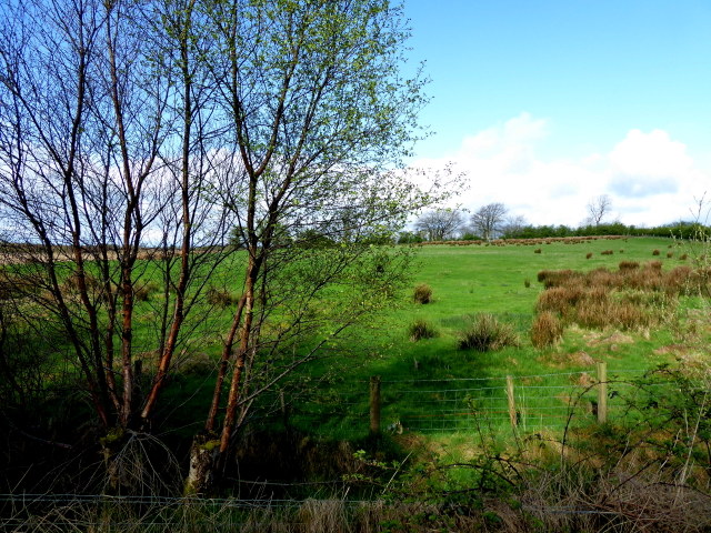
Killycurragh Townland
Pictured along Finbarr Road
Loading map... (JavaScript required)
- Grid Square
- H5273, 170 images (more nearby 🔍)
- Photographer
- Kenneth Allen (more nearby)
- Date Taken
- Monday, 24 April, 2017 (more nearby)
- Submitted
- Monday, 24 April, 2017
- Subject Location
-
Irish:
 H 524 738 [100m precision]
WGS84: 54:36.5820N 7:11.3228W - Camera Location
-
Irish: H 525 738
- View Direction
- WEST (about 270 degrees)