2002
TQ8019 : Eastern end of Powdermill Reservoir dam with access roads
taken 22 years ago, near to Brede, East Sussex, England
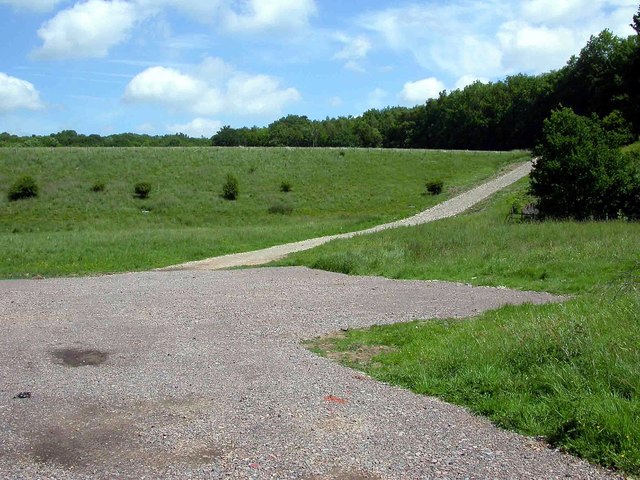
Eastern end of Powdermill Reservoir dam with access roads
Site is actually on the eastern edge of Sedlescombe parish.
 Map © Crown Copyright")
TIP: Click the map for more Large scale mapping
- Grid Square
- TQ8019, 148 images (more nearby 🔍)
- Photographer
- Patrick Roper (more nearby)
- Date Taken
- Saturday, 18 May, 2002 (more nearby)
- Submitted
- Wednesday, 26 April, 2017
- Subject Location
-
OSGB36:
 TQ 8013 1923 [10m precision]
WGS84: 50:56.6621N 0:33.7638E - Camera Location
-
OSGB36: TQ 8006 1920
- View Direction
- East-northeast (about 67 degrees)