2017
SE8057 : View to Megdale Plantation
taken 7 years ago, near to Kirby Underdale, East Riding of Yorkshire, England
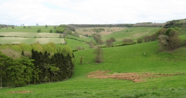
View to Megdale Plantation
The wooded area to the left is Megdale Plantation, whilst beyond is a typical chalk valley, the upper end of which is known as South Wold Dale.
 Map © Crown Copyright")
TIP: Click the map for more Large scale mapping
- Grid Square
- SE8057, 29 images (more nearby 🔍)
- Photographer
- Gordon Hatton (more nearby)
- Date Taken
- Friday, 28 April, 2017 (more nearby)
- Submitted
- Saturday, 29 April, 2017
- Subject Location
-
OSGB36:
 SE 8095 5778 [10m precision]
WGS84: 54:0.5821N 0:45.9760W - Camera Location
-
OSGB36: SE 8078 5777
- View Direction
- EAST (about 90 degrees)