2017
SP3306 : Farmland near Lower Farm
taken 7 years ago, near to Lew, Oxfordshire, England
This is 1 of 2 images, with title Farmland near Lower Farm in this square
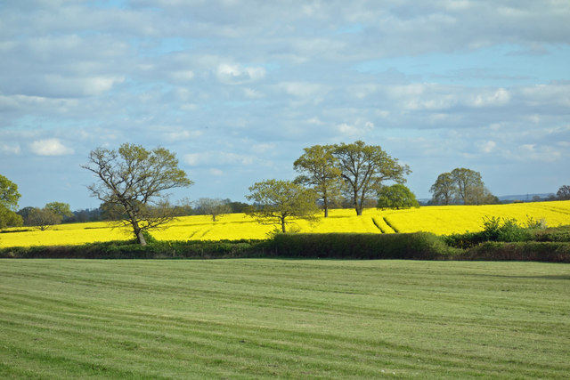
Farmland near Lower Farm
 Map © Crown Copyright")
TIP: Click the map for more Large scale mapping
- Grid Square
- SP3306, 13 images (more nearby 🔍)
- Photographer
- Des Blenkinsopp (more nearby)
- Date Taken
- Sunday, 23 April, 2017 (more nearby)
- Submitted
- Sunday, 30 April, 2017
- Subject Location
-
OSGB36:
 SP 3353 0621 [10m precision]
WGS84: 51:45.2150N 1:30.9397W - Camera Location
-
OSGB36: SP 3343 0641
- View Direction
- South-southeast (about 157 degrees)