2017
NM1353 : Crossapol Bay, Coll
taken 7 years ago, 3 km from Arileod, Coll, Argyll And Bute, Scotland
This is 1 of 2 images, with title Crossapol Bay, Coll in this square
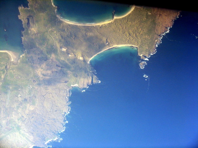
Crossapol Bay, Coll
The western end of the Inner Hebridean island, with Feall Bay at the top of the picture; the area between is occupied by sand dunes.
 Map © Crown Copyright")
TIP: Click the map for more Large scale mapping
- Grid Square
- NM1353, 15 images (more nearby 🔍)
- Photographer
- M J Richardson (more nearby)
- Date Taken
- Monday, 1 May, 2017 (more nearby)
- Submitted
- Thursday, 4 May, 2017
- Subject Location
-
OSGB36:
 NM 132 532 [100m precision]
WGS84: 56:34.9656N 6:40.3520W - Camera Location
-
OSGB36: NM 125 502
- View Direction
- North-northeast (about 22 degrees)