2017
TQ1611 : Track to Charlton Court
taken 7 years ago, near to Steyning, West Sussex, England
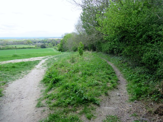
Track to Charlton Court
Public bridleway 2714 ending its descent from the South Downs.
 Map © Crown Copyright")
TIP: Click the map for more Large scale mapping
- Grid Square
- TQ1611, 74 images (more nearby 🔍)
- Photographer
- Peter Holmes (more nearby)
- Date Taken
- Saturday, 22 April, 2017 (more nearby)
- Submitted
- Sunday, 7 May, 2017
- Subject Location
-
OSGB36:
 TQ 1652 1141 [10m precision]
WGS84: 50:53.4260N 0:20.6834W - Camera Location
-
OSGB36: TQ 16499 11401
- View Direction
- East-northeast (about 67 degrees)