2017
NY9769 : Hadrian's Wall path through Stanley Plantation
taken 7 years ago, 3 km from Sandhoe, Northumberland, England
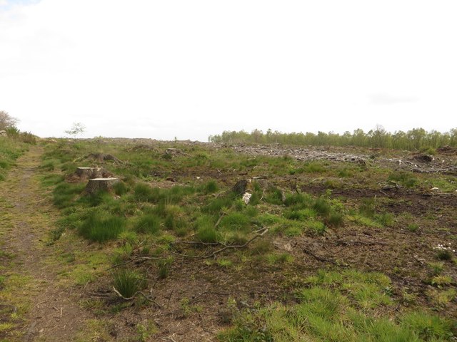
Hadrian's Wall path through Stanley Plantation
Hadrian's Wall Path passes along the edge of a plantation which appears to have recently been clear felled.
 Map © Crown Copyright")
TIP: Click the map for more Large scale mapping
- Grid Square
- NY9769, 38 images (more nearby 🔍)
- Photographer
- Graham Robson (more nearby)
- Date Taken
- Saturday, 6 May, 2017 (more nearby)
- Submitted
- Wednesday, 10 May, 2017
- Subject Location
-
OSGB36:
 NY 9709 6903 [10m precision]
WGS84: 55:0.9486N 2:2.8225W - Camera Location
-
OSGB36: NY 9708 6903
- View Direction
- East-southeast (about 112 degrees)