2007
TG2523 : Housing developer's sign on Hautbois Road
taken 17 years ago, near to Little Hautbois, Norfolk, England
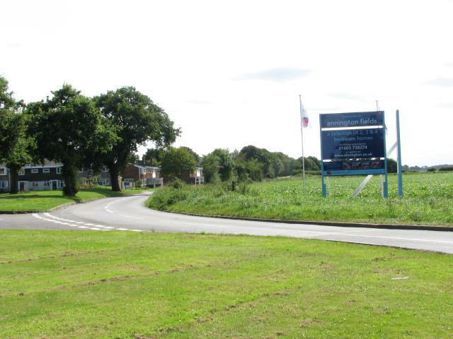
Housing developer's sign on Hautbois Road
Planned as a bomber station, the construction of Royal Air Force Coltishall began in February 1939. It was pressed into use as a fighter station in May 1940 while still incomplete, and disbanded on April 1st 2006. The site has meanwhile been developed for private housing.
 Map © Crown Copyright")
TIP: Click the map for more Large scale mapping
- Grid Square
- TG2523, 73 images (more nearby 🔍)
- Photographer
- Evelyn Simak (more nearby)
- Date Taken
- Tuesday, 28 August, 2007 (more nearby)
- Submitted
- Tuesday, 28 August, 2007
- Subject Location
-
OSGB36:
 TG 254 236 [100m precision]
WGS84: 52:45.7766N 1:20.3608E - Camera Location
-
OSGB36: TG 254 236
- View Direction
- South-southwest (about 202 degrees)