2017
TF4755 : Across Friskney Tofts to Friskney Eaudyke: aerial 2017
taken 7 years ago, near to Friskney Eaudyke, Lincolnshire, England
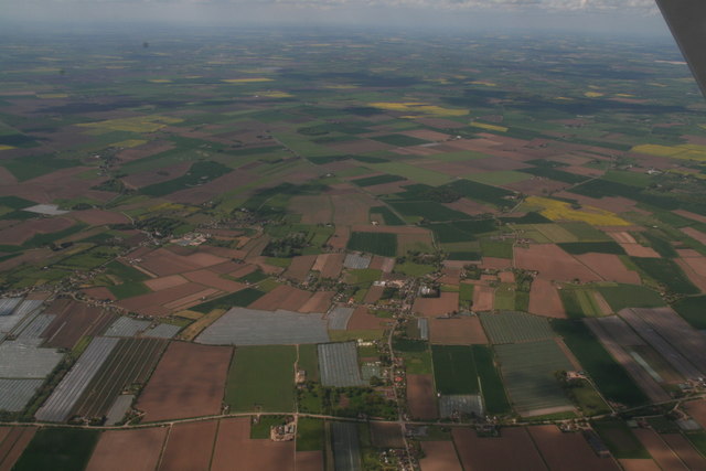
Across Friskney Tofts to Friskney Eaudyke: aerial 2017
 Map © Crown Copyright")
TIP: Click the map for more Large scale mapping
- Grid Square
- TF4755, 20 images (more nearby 🔍)
- Photographer
- Chris (more nearby)
- Date Taken
- Sunday, 14 May, 2017 (more nearby)
- Submitted
- Wednesday, 17 May, 2017
- Subject Location
-
OSGB36:
 TF 475 558 [100m precision]
WGS84: 53:4.7697N 0:12.0779E - Camera Location
-
OSGB36: TF 495 543
- View Direction
- Northwest (about 315 degrees)