2017
NT0820 : Fruid Reservoir
taken 7 years ago, 3 km from Glenbreck, Scottish Borders, Scotland
This is 1 of 11 images, with title Fruid Reservoir in this square
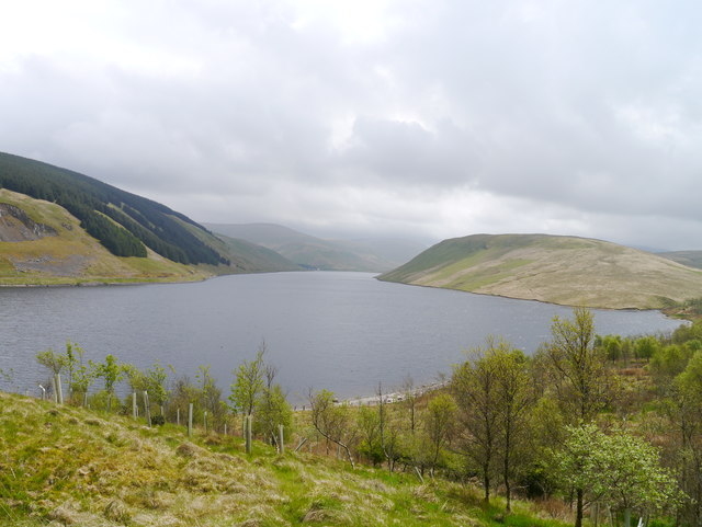
Fruid Reservoir
The reservoir was completed in 1969, and together with nearby Talla Reservoir and Megget Reservoir, provides water for the city of Edinburgh.
 Map © Crown Copyright")
TIP: Click the map for more Large scale mapping
- Grid Square
- NT0820, 71 images (more nearby 🔍)
- Photographer
- James T M Towill (more nearby)
- Date Taken
- Wednesday, 17 May, 2017 (more nearby)
- Submitted
- Saturday, 20 May, 2017
- Subject Location
-
OSGB36:
 NT 0852 2043 [10m precision]
WGS84: 55:28.1469N 3:26.9146W - Camera Location
-
OSGB36: NT 0852 2043
- View Direction
- Southeast (about 135 degrees)