2017
SX4655 : Masterman Rd
taken 7 years ago, near to Devonport, Plymouth, England
This is 1 of 2 images, with title Masterman Rd in this square
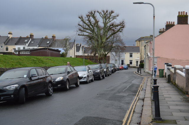
Masterman Rd
Stoke, also referred to by its earlier name of Stoke Damerel, is a parish, that was once part of the historical Devonport. Stoke is an inner suburb of Plymouth.
Stoke is now densely built up with family houses and bisected by the main railway line from Paddington to Penzance. The area has been prosperous for several hundred years, and there are some distinguished private houses dating to Georgian and Victorian times.
See other images of Stoke, Plymouth
Stoke is now densely built up with family houses and bisected by the main railway line from Paddington to Penzance. The area has been prosperous for several hundred years, and there are some distinguished private houses dating to Georgian and Victorian times.
See other images of Stoke, Plymouth
 Map © Crown Copyright")
TIP: Click the map for more Large scale mapping
- Grid Square
- SX4655, 157 images (more nearby 🔍)
- Photographer
- N Chadwick (more nearby)
- Date Taken
- Saturday, 7 January, 2017 (more nearby)
- Submitted
- Tuesday, 23 May, 2017
- Subject Location
-
OSGB36:
 SX 4603 5569 [10m precision]
WGS84: 50:22.8537N 4:10.0170W - Camera Location
-
OSGB36: SX 4600 5569
- View Direction
- EAST (about 90 degrees)