2017
NT1710 : Forestry around the Longhope Burn
taken 7 years ago, near to Bodesbeck Law [hill or Mountain], Dumfries And Galloway, Great Britain
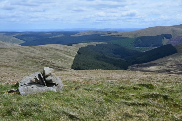
Forestry around the Longhope Burn
The cairn seems to be a landmark for the top of the grassy track up from the col below Bught Hill.
 Map © Crown Copyright")
TIP: Click the map for more Large scale mapping
- Grid Square
- NT1710, 11 images (more nearby 🔍)
- Photographer
- Jim Barton (more nearby)
- Date Taken
- Tuesday, 23 May, 2017 (more nearby)
- Submitted
- Wednesday, 24 May, 2017
- Subject Location
-
OSGB36:
 NT 1727 1051 [10m precision]
WGS84: 55:22.8937N 3:18.4358W - Camera Location
-
OSGB36: NT 1724 1052
- View Direction
- East-southeast (about 112 degrees)